Carnets de Trail: Montalin Ridge - Hochwang
Episode 3: Sébastien de Sainte Marie's "Carnets de Trail" series continues, this time near his new home in Graubünde.

Sébastien de Sainte Marie is a steep-skier, runner, climber, The Outdoor Journal ambassador, but above all a lover of wide-open spaces. Sébastien has carried out first ski descents in the Alps, Chablais and Aiguilles Rouges. He made the first ski descent of “Brenvitudes” on the Brenva side of Mont Blanc, as well as off the English Route on the south face of Shishapangma (Tibet) from an altitude of 7,400m. In this series entitled “Carnets de Trail” (Trail Notebook), Sébastien shares all his favourite trails, with all the information you need to experience the same trips yourself.
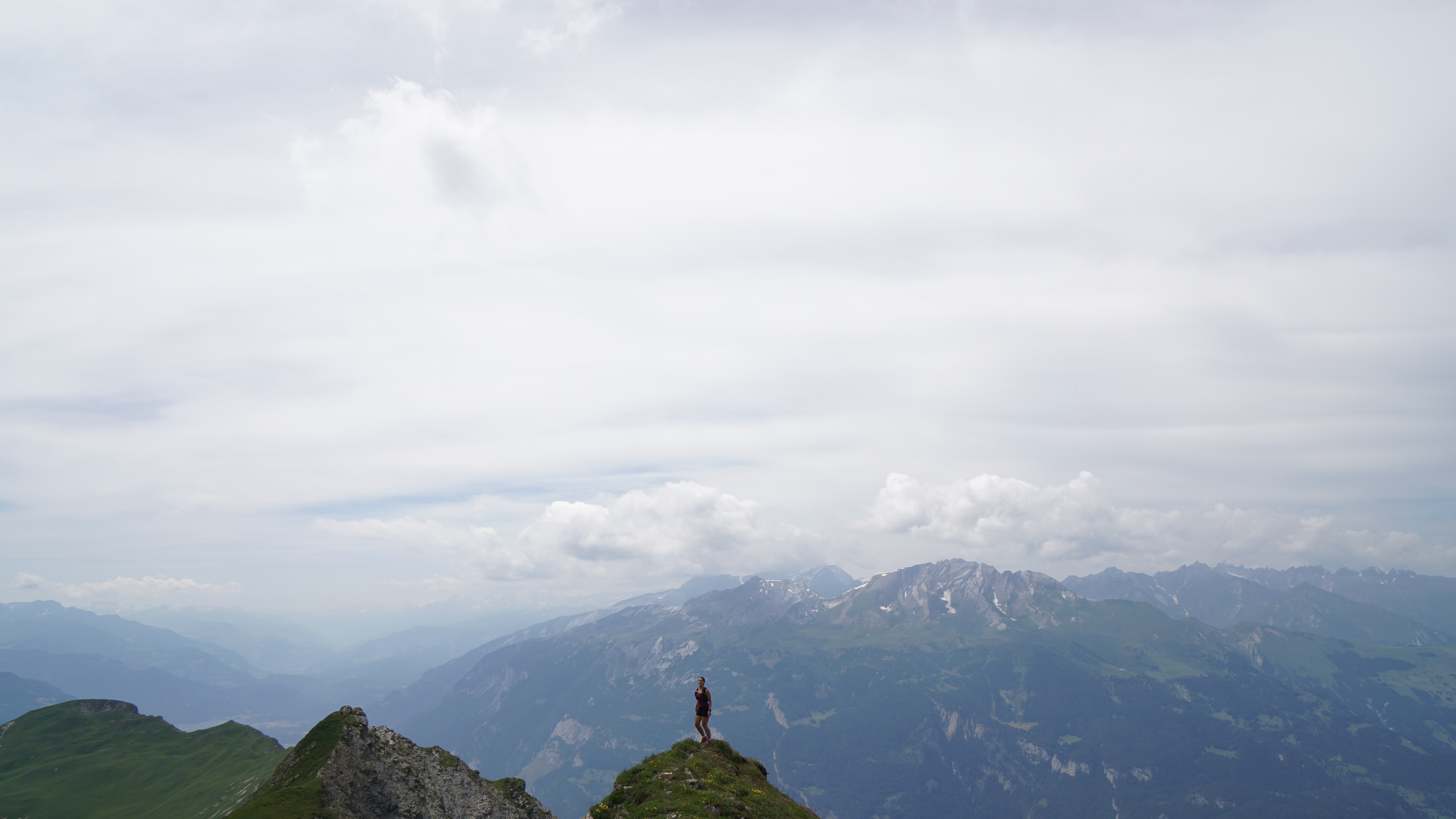
Since my recent move to Graubünden, Switzerland, I have not stopped looking at this impressive mountain facing my new home, Montalin. Eventually, I found the time to check out the view from the top.
The Key Information
Time: For walkers 9h. For runners between 4 to 5h. There are some sections, specifically on the ridge, where you cannot run. Distance: 22km for 2100m uphill, and then 1400m downhill. Location: Start from Chur and end in St Peter (where you will find a bus and train station). Difficulty: The entire area between Montalin (2266m) and Hochwang (2532m) is located between T2 and T3 with a T4 passage just before Hochwang. Gear: Trail running shoes are important, in addition to a light bag that you can use for water. Sticks might be helpful at the start. Good for: The ridge is not very difficult, with good stable terrain and the views are amazing. The first long uphill looks tough, but it's a soft incline. This route really is something for everybody.
Route
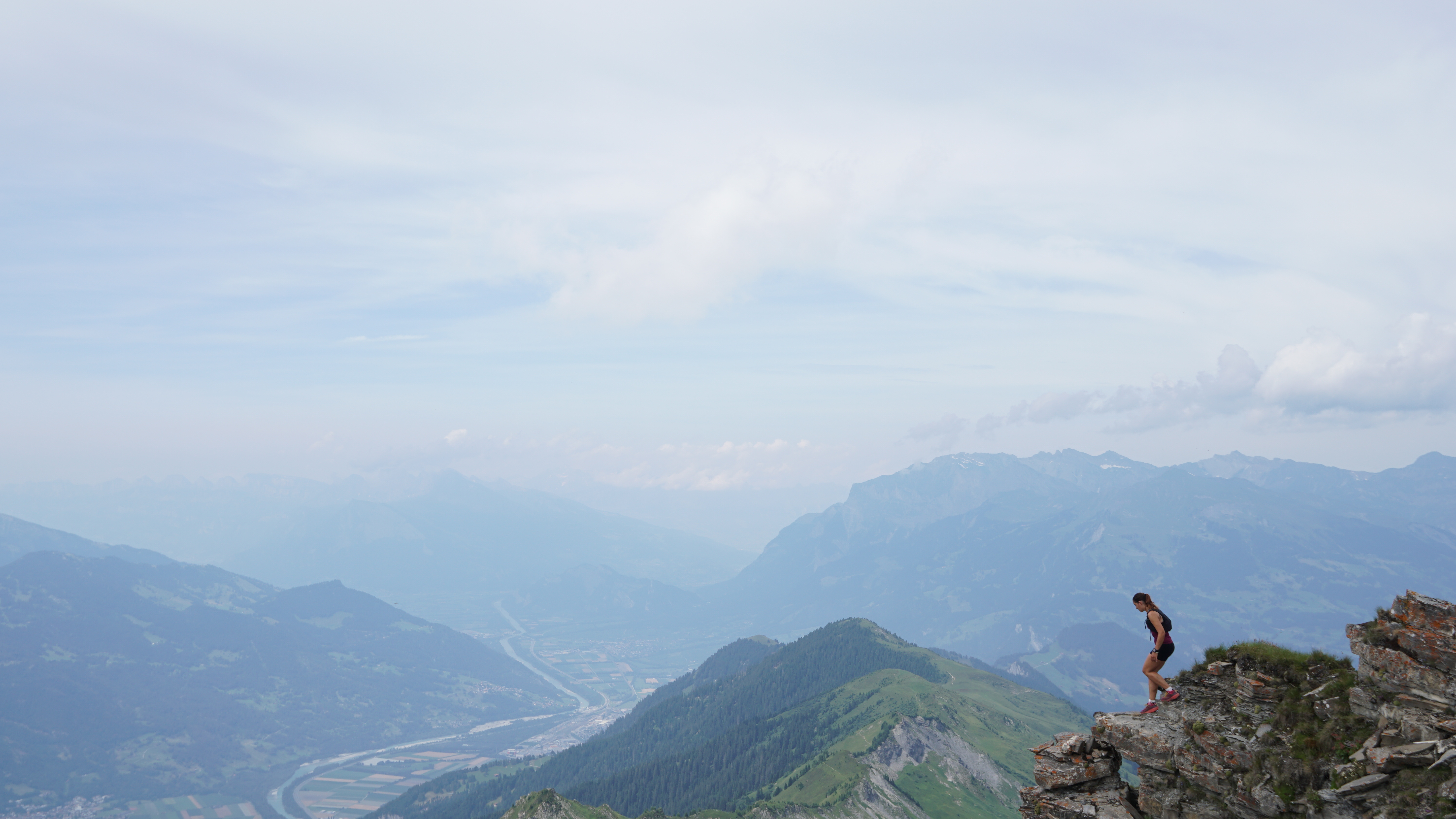
This little adventure starts from the Church of Saint Luzius in Chur (621m), heading up to reach the atypical little Chapel of Saint Luzi nestled in the rocks. The path then continues along Mittenberg (1114m), the chalets of Bargs (1600m) and leads to Fürhörnli (1887m). Curiosity leads us down a short detour to reach the summit of Fürhörnli and its summit so that we can enjoy a few seconds of breathtaking views of the river Rhein.
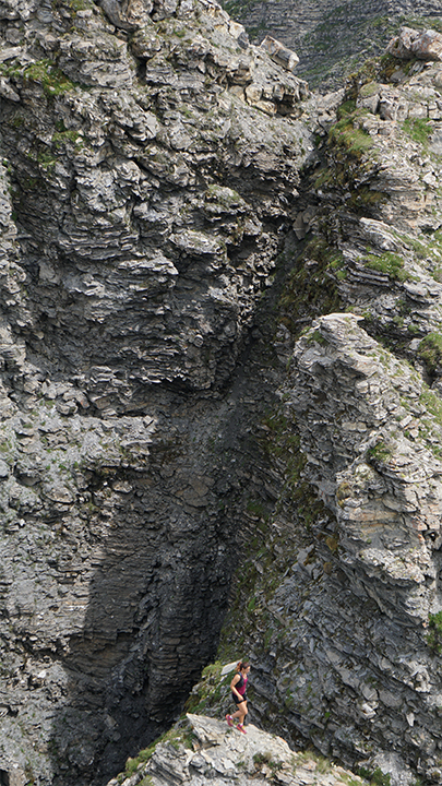
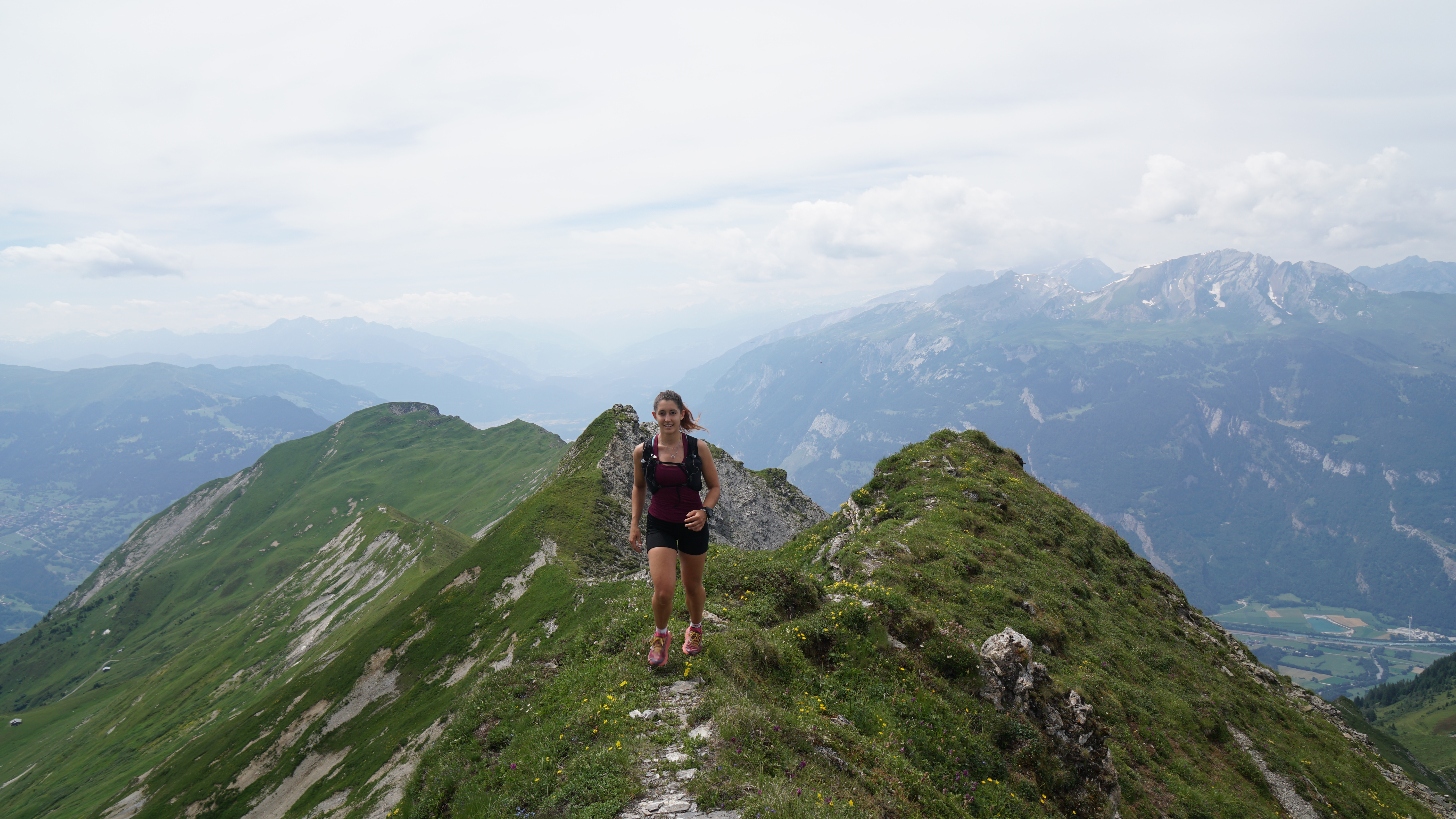
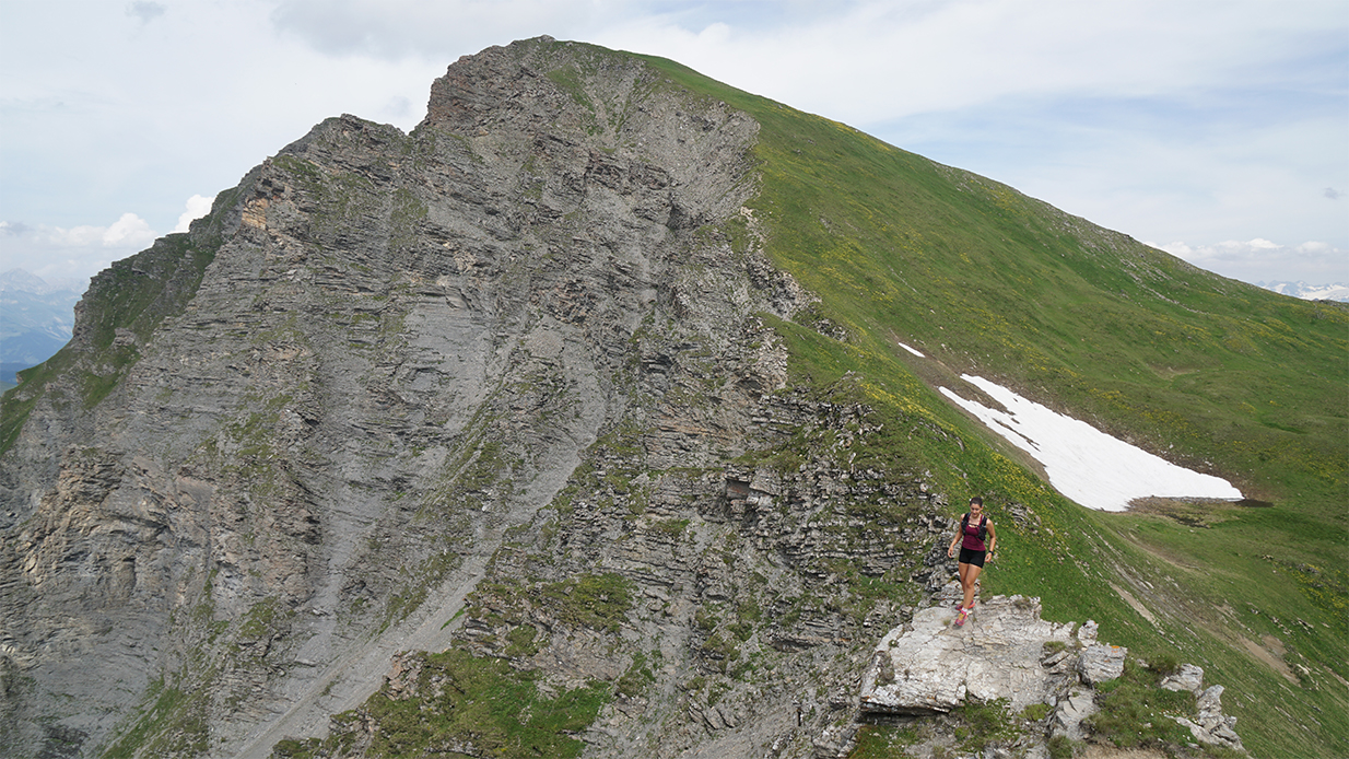
From there, the path becomes steeper and narrower up to the summit of Montalin (2265m). It is classified as an "alpine" path. From the top of Montalin we follow an excellent path towards Obersass to reach a pass located at about 2180m. We then leave the marked paths towards Gromser Chopf (2260m). The start is steep but then the ridge is flat and wide and only stiffens before the Ful Berg (2394m). Seen from afar, the raidillon before the Ful Berg looks scabrous, but once it has passed its test it is easy. The ridge then takes on the appearance of a dolomite with beautiful delineated rock towers just before the ascent to Schafläger (2429m) and then to Tüfelsch Chopf. A short roller coaster ride and here we are at the top of the Hochwang (2532m) to close this magnificent ridge. From the summit head towards Ratoser Stein (2473m) but quickly turn right to descend towards Triemel (1850m). The view is magnificent but a good half of the concrete path reminds us of the kilometres and the difference in altitude already covered. The path, road at times, then leads us back to St Peter's which will be the end of our itinerary.
It is possible to do many variations of this itinerary, including a departure from Maladers (1025m) to reduce the positive altitude difference or on the contrary to extend the ridge to infinity on the Ratoser Stein then Cunggel (2412) and this until Mattjisch Horn (2460m) for the most daring.
Tips
- This is a route for dry and stable weather. - Plan for sufficient water supply throughout the whole adventure, because apart from a small torrent at Walpagära (2338m) we were short on options.
The little extras
- It is possible to sleep 300 metres just below the ridge and just above St Peter at the Skihaus Hochwang- There's nothing like a good ice cream after an adventure in the mountains and if you're in the mood for hot chocolate or walnut pie, then you can enjoy the great bakery and confectionery coffee.
Useful links:
- Trains and postal buses
- The Chur Tourist Office located in the station will answer all your questions
- The site to plan your trip with an online topographic map at 25:000.
Sebastien de Sainte Marie would like to thank Luisa for featuring in the photos and his partners Scott and Outdoor Research.



Comments ()